The severe low-pressure system that tore through Perth on 30–31 May 2026 was a once-in-several-years weather event — destructive wind gusts over 125 km/h, swells peaking at 6–7 metres, and a coastline that took a serious hammering. The good news? That hammering is exactly what Perth's sandbanks needed. Here's what happened, what it means for surf conditions right now, and which beaches are worth checking over the coming weeks.
If you were anywhere near the coast last weekend, you already know it was wild out there. The Bureau of Meteorology issued severe weather warnings covering the entire Perth coast — from Lancelin all the way down to Albany — as an unusually deep low-pressure system pushed through southwest WA. This kind of system only rolls through once every three to five years, and when it does, it reshapes things.
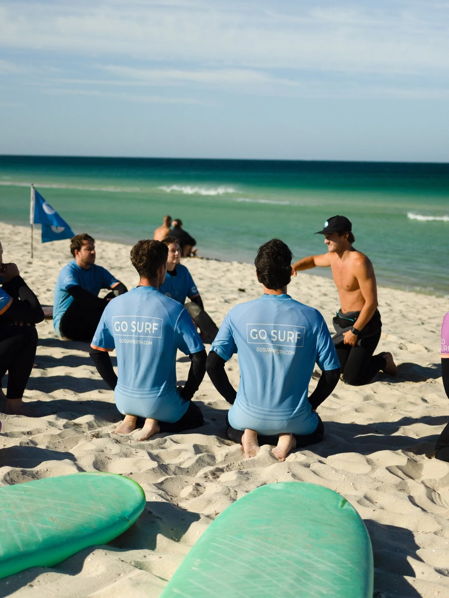
We were down at the beach filming it. Take a look at what we captured:
Perth Storm May 2026 — Massive Swell at Cottesloe Beach | Go Surf Perth
And here's the official BOM update from Saturday morning if you want the full picture:
On 29 May 2026, the Bureau of Meteorology issued this severe weather update for Western Australia — forecasting destructive wind gusts exceeding 125 km/h, large waves, and severe storms across the Perth coast and southwest WA. This was one of the most significant storm events to hit Perth in several years.
What Actually Happened Out There
The system arrived Friday night and peaked through Saturday and into Sunday. By the numbers:
Wind gusts: Locally destructive, exceeding 125 km/h across Perth and surrounds
Swell: Started at 1.5–2 metres Friday, climbed to 3–5 metres by Saturday morning, then peaked at 6–7 metres by Saturday evening
Hazards: Severe thunderstorms, heavy rainfall, flash flooding risk, abnormally high tides, and isolated tornadoes in the mix
The BOM classified this as a rare event for southwest WA — the kind of low that produces genuinely dangerous conditions and that you definitely don't paddle out in.
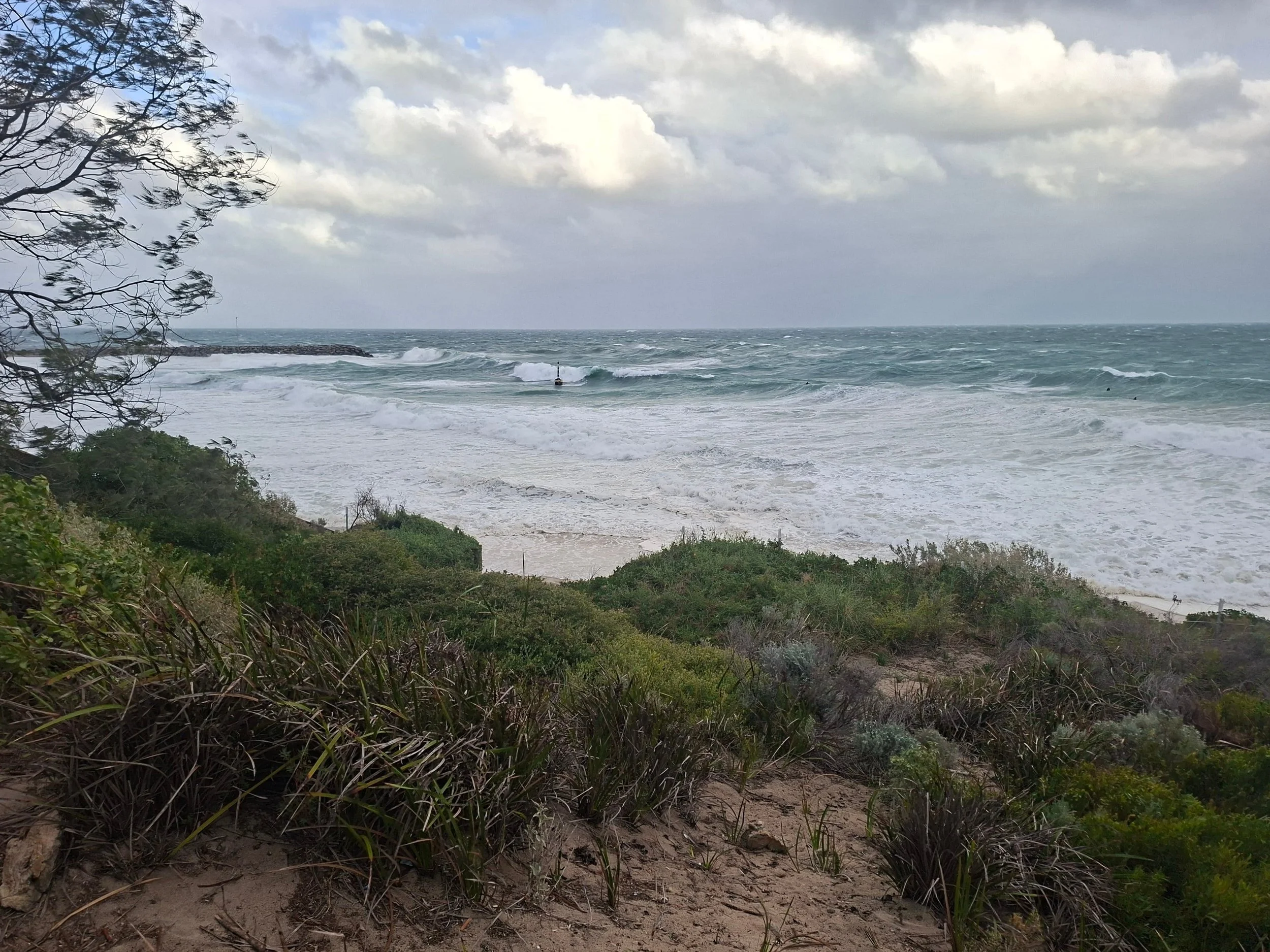
Cottesloe Beach taking a hammering during the May 2026 storm — winds strong enough to bend the trees, swell pushing well up the beach. This is what a once-in-several-years low-pressure system looks like from the dunes.
The Silver Lining: What This Means for the Sandbanks
Here's where things get interesting for surfers.
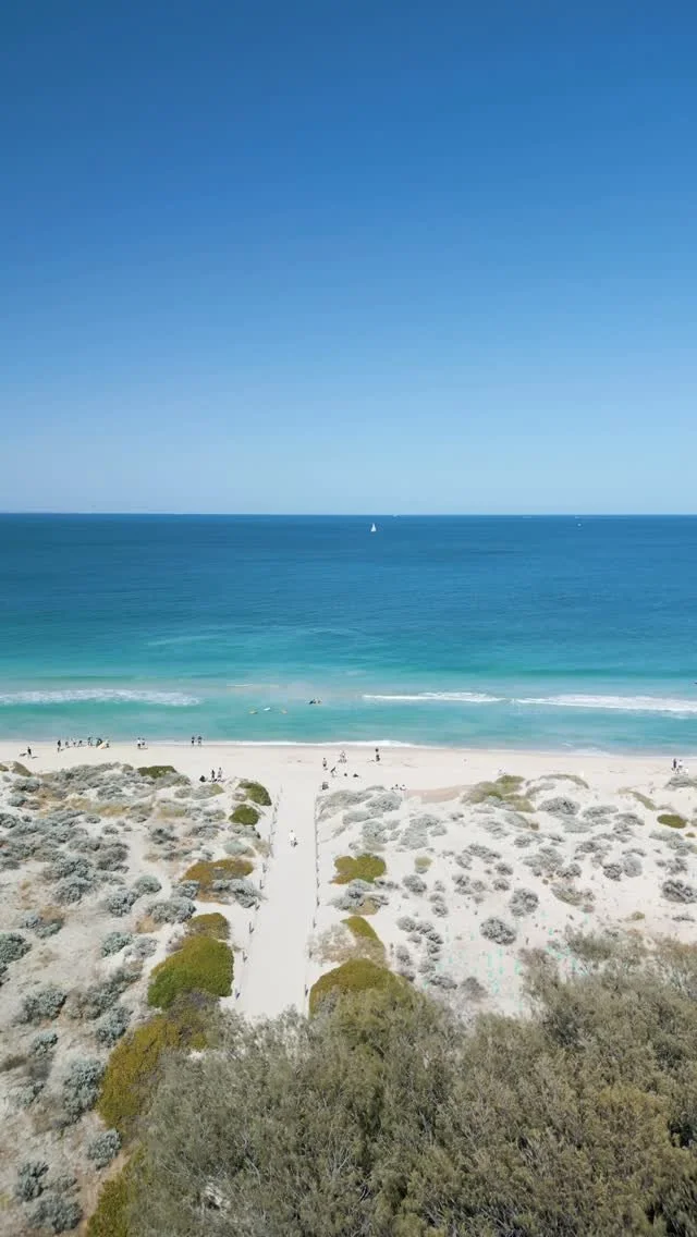
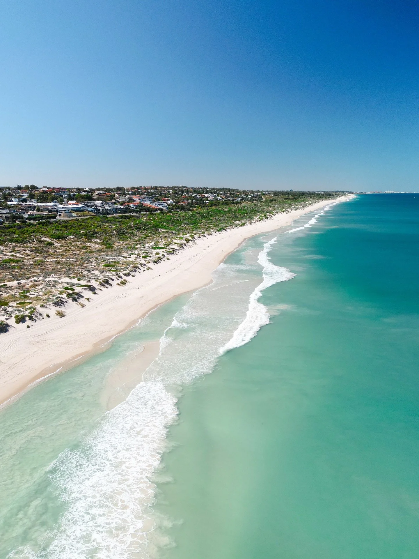
If you've been to the beach in the last few weeks of autumn and found the waves just washing straight up the sand with nothing to break on, you're not alone. As we explained in our earlier post on where the sandbanks go, the summer banks that form over winter gradually flatten out through March and April. By late April and May, they're often completely gone — which means even when the swell shows up, it just closes out on the shore.
The fix? A big winter storm.
Big waves combined with strong winds erode the beach, pulling sand out into the water and depositing it in offshore bars — the sandbanks that surfers actually ride. Last weekend's system was about as powerful as Perth gets. Swell in the 6–7 metre range with that kind of wind energy behind it moves a serious amount of sand. It won't happen overnight, but over the next one to three weeks, we should start to see new sandbank formations taking shape along the coast.
This is genuinely exciting. It's the reset button Perth surf needed.
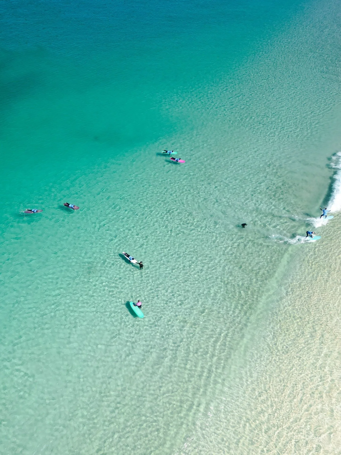
Which Beaches Are Worth Checking First
Not every beach responds to a storm the same way, and a lot depends on the direction the swell hit. Here's how we'd break it down:
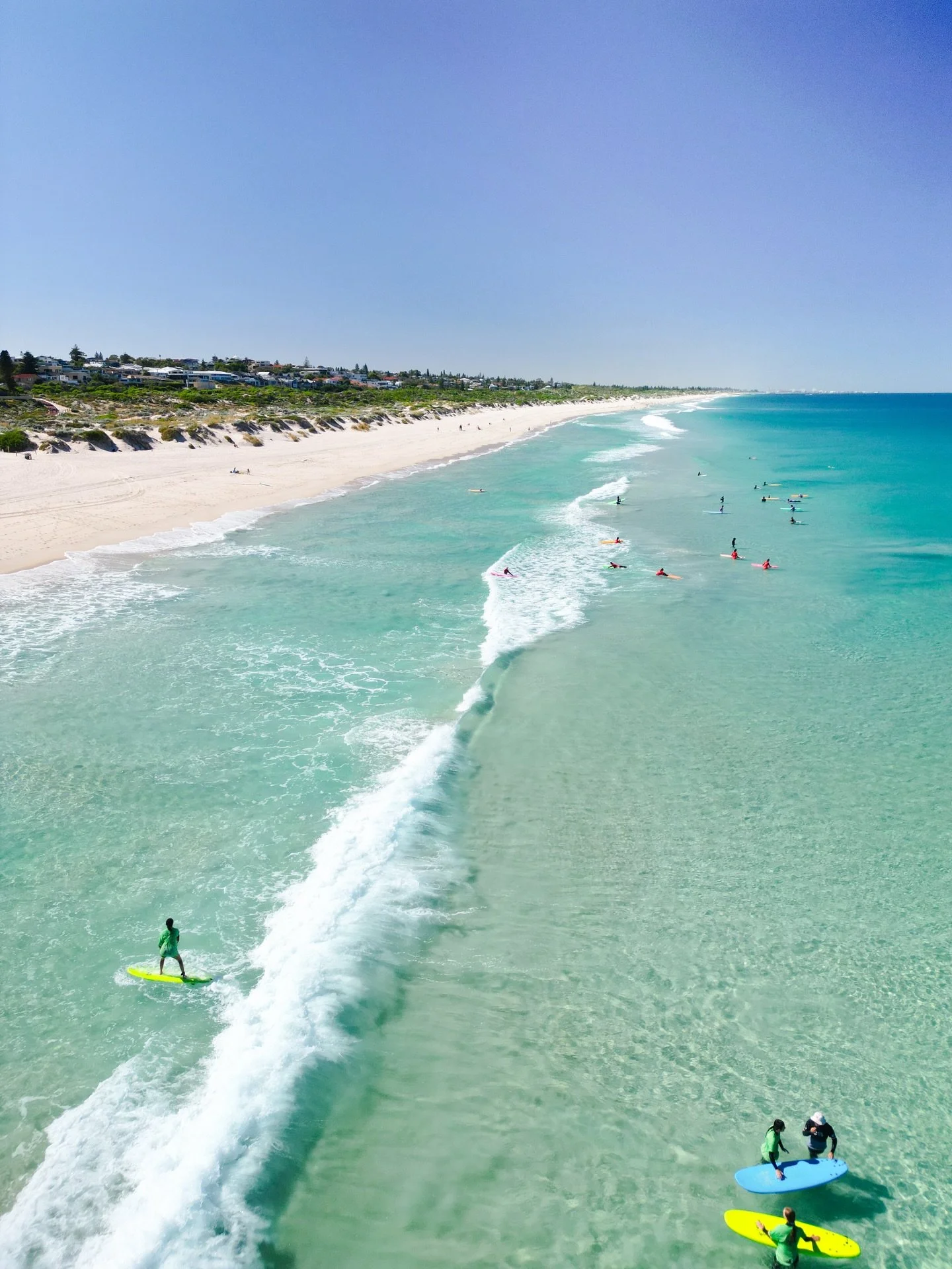
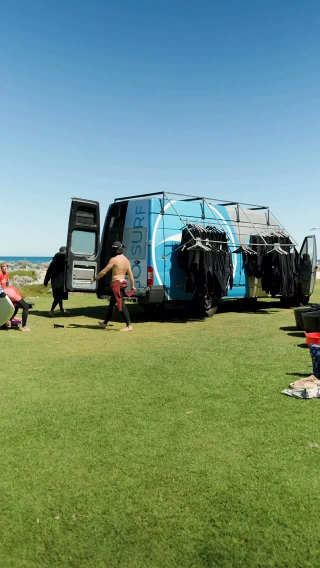
Scarborough and Brighton Beach
These are our home breaks and the ones we'd be checking first. Because they sit north of the Rottnest Island swell shadow — which we've covered in depth in our where to surf in Perth guide — they cop more direct swell energy than the southern beaches. A system like this one, coming in from the southwest, hits these spots hard. That's a lot of sand movement, which is exactly what you want for bank formation.
Expect these spots to be the first to show some shape. We'd be checking them from this week.
Leighton and Cottesloe
The Rotto effect means these beaches were more sheltered from the peak swell, so they may take a bit longer to respond. That said, they're often worth a look on smaller, cleaner days after the storm swell settles — particularly on a southwest or west swell direction. During winter, the breakwalls at Cottesloe and Sandtracks (Fremantle) can also offer some protection from onshore wind if the banks are firing but the breeze is up.
The Reef Breaks
If the beach breaks are still closing out while the banks rebuild, it's worth checking the reefs. The Cove and Seconds on the southern side of Cottesloe often have good waves on larger swells with easterly winds. Further north, the reef breaks around Trigg — spots like Mettams Pool and Tom's — are worth a look for more capable surfers after a big swell event like this.
How to Read the Conditions in the Coming Weeks
Now that the storm has passed, you'll want to keep a close eye on the forecast. As we outlined in our how to read a surf forecast guide, there are a few things to watch:
Swell period: After a big storm like this, there'll be residual ground swell pushing through for several days. A swell period of 12 seconds or more means the waves have real power behind them — good for reef breaks and shaped bank breaks, but potentially too much for beginners.
Wind direction: The best conditions after a storm come when the easterly returns — typically from early morning before the sea breeze kicks in. Offshore (easterly) wind grooms the waves and makes them far more rideable.
Wave height: As the swell drops from the 6–7 metre peak into the 1–2.5 metre range over the coming days, that's when conditions start becoming enjoyable rather than just spectacular. Keep an eye on Seabreeze, Swellnet, or Windy for daily updates.
Sandbanks — look with your eyes: No app can tell you whether the banks have formed yet. The only way to know is to walk down to the beach and look. If you can see defined peaks — waves standing up and peeling left or right rather than just slamming straight onto the shore — the banks are there. If it's still closing out, give it another few days.
A Word on Safety
We want to be upfront here: the days immediately following a major storm are not the time to paddle out unless you really know what you're doing. Conditions can be deceptive — the storm swell takes time to organise into clean rideable waves, and there can still be a lot of water movement, strong currents, and unsettled conditions near the shore.
If you're a beginner or learning to surf, wait. The banks will come, the swell will settle, and the waves will be there. It's worth being patient to surf in conditions that are actually fun rather than dangerous.
If you're not sure, get in touch with us and we can let you know what conditions are looking like at our spots.
What Comes Next
Winter is officially here, and if this storm is anything to go by, it's going to be a good season. Keep checking the forecast, get down to the beach for a look, and stay patient while the banks take shape.
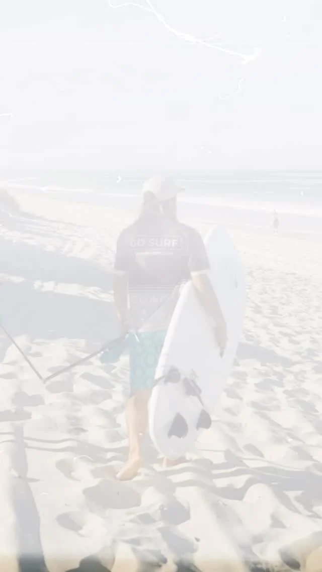
We'll keep posting updates on conditions at Scarborough and Leighton as we see the sandbanks develop — so follow us on Instagram @gosurfperth to stay across it in real time.
And if you've been thinking about learning to surf, winter is actually a brilliant time to get started. The water is cooler but manageable in a wetsuit, the crowds thin out, and — if this storm delivers what we think it will — we're going to have some excellent beginner waves over the next few months.
“Stay safe, surf smart, and enjoy the winter surf season
”
Frequently Asked Questions
-
After a major storm event, new sandbanks can start to take shape within one to two weeks, though it varies depending on the size of the swell, the amount of sand moved, and subsequent weather patterns. A storm of the scale we saw on 30–31 May 2026 — with swells peaking at 6–7 metres — moves a significant volume of sand, which gives the banks a real chance to establish quickly.
-
Not immediately. The days after a major storm typically bring heavy, unorganised swell, strong currents, debris in the water, and poor visibility. Most experienced surfers wait at least two to three days for conditions to settle before paddling out. Beginners should wait longer and check with a local surf school before heading in.
-
Beaches north of the Rottnest Island swell shadow — particularly Scarborough, Brighton, and Trigg — tend to receive the most direct swell energy and are usually the first to show new sandbank formations after a big storm. Southern beaches like Leighton and Cottesloe are more sheltered, while reef breaks such as The Cove and Mettams Pool can offer good waves on a dropping swell with easterly winds.
-
For beginner surfers, waves of around 0.5 to 1 metre with a gentle slope are ideal. After a storm event like the May 2026 system, wait for the swell to drop from its peak (6–7m) down to the 1–1.5 metre range and for the wind to swing back offshore (easterly) before considering a surf. At Go Surf, we only run lessons when conditions are safe and suitable — check availability here.
-
There's no substitute for going to have a look. Walk down to the water's edge and watch the waves for 10–15 minutes. If you can see waves forming peaks and peeling in one direction before breaking, the banks are there. If everything is just closing out in one big wall, the banks haven't formed yet. You can also follow us @gosurfperth for real-time condition updates.